. The crafts of Boyaca
Boyacá department | Boyaca, zip code: 153610
More than a tourist city, Boyacá is the sum of towns and natural sites, located in the 23,189 square kilometers that make up the region and in which there is a history that determined the independence of Colombia, so it was cataloged by the Liberator Simón Bolívar as “Cradle and Workshop of Freedom”, since it was in these lands where the famous Battle of Boyacá was fought in 1819, a deed in which after several centuries of Spanish domination, Colombians gained their independence. This historical legacy is manifested in an architecture that speaks for itself in each of the villages, as well as crafts, which tells the traditions of the villages that make up the area and that became a tradition and one of the most artistic expressions important in Boyacá.
The Boyacá district formed geographically around the Magdalena River, Colombia’s main tributary, but is surrounded by the eastern mountain range, the Cundiboyacense highlands and the eastern plains. This geographical mixture is one of the main tourist attractions in the region and makes it possible to enjoy the greatest variety of climates in the whole country, from the desert in La Candelaria, to the most intense cold with freezing temperatures. in the Páramo de Pisba. Not only is the Magdalena river that runs through the area, several tributaries reach the district contained in five important basins such as the Meta, Chicamocha, Arauca, Suárez and Magdalena rivers; that make the place a hydrographic power that supplies the country with electricity.
Boyaca Department Map
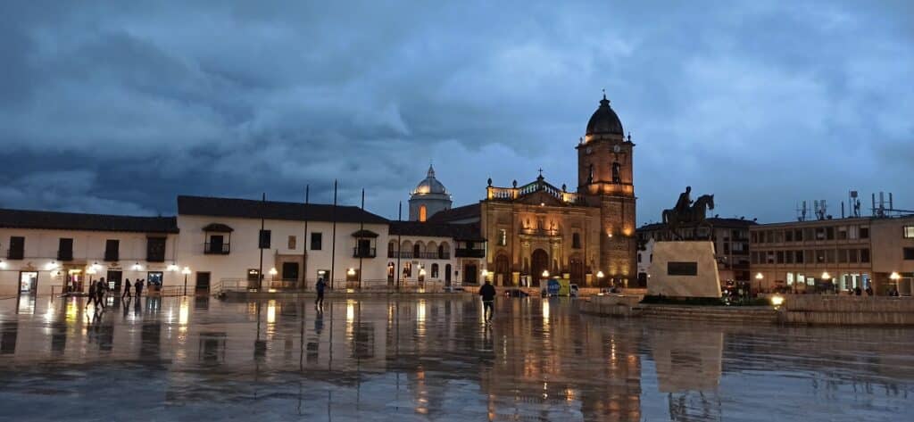
Tunja City
The closest airport to Tunja is Yopal Airport (EYP) which is 111.2 km away. Other nearby airports include Bogota (BOG) (126.6 km), Bucaramanga (BGA) (178.3 km), Jose Maria Cordoba Airport (MDE) (238.7 km) and Manizales (MZL) (239.4 km)
Tunja is the first destination to visit when arriving in Boyacá. It is the capital of the district, and being the capital center, it offers architectural sites that are of great interest. The green landscapes that surround the road that leads to Tunja seem to be taken from the color mix of a painter’s palette. These fertile lands in which valleys and mountains of gentle undulations abound shelter Tunja, the capital of the department of Boyacá. The city was founded on August 6, 1539, a year after Bogotá, on a Muisca indigenous village.
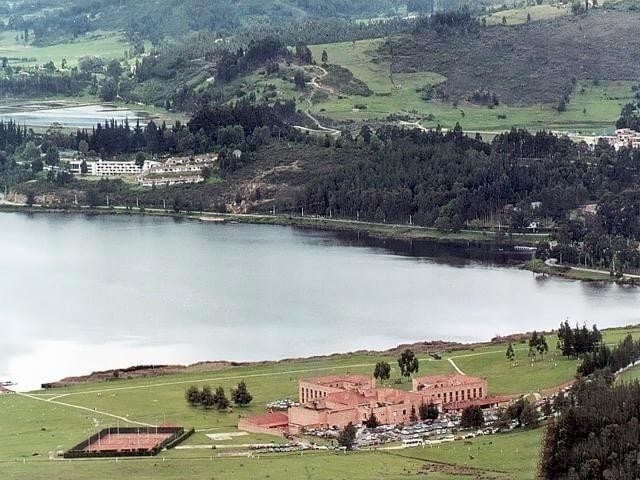
Paipa City
Located 40 km north of Tunja
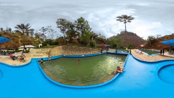
Paipa is the ideal place to enjoy cultural, festivals and gastronomy. In this town a series of festivals are developed in various areas such as music, gastronomy and crafts, throughout the year, among which the National Band, the Festival of the Ruana, Festival of Almojábanas, and the Festival of Anthology of the Colombian music. It stands out for its thermal water sources. In this municipality, founded on February 19, 1602, an important part of the history of Colombia: here, on July 25, 1819, the Battle of the Vargas Swamp took place, which was essential to obtain Independence.
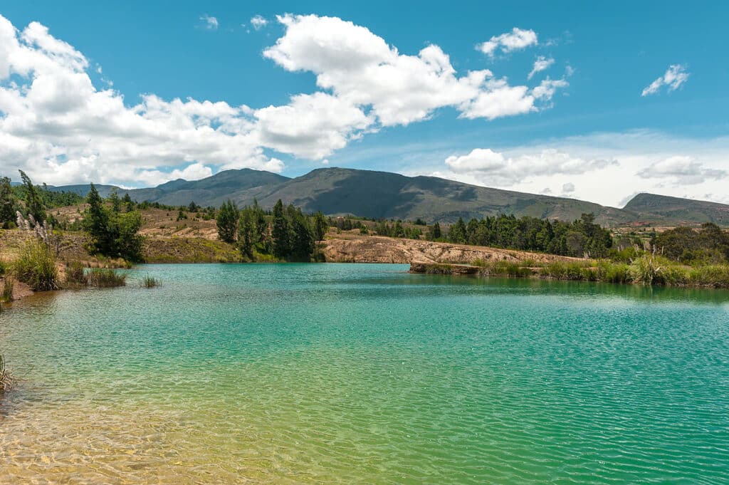
Villa de Leiva City
Located 40 km west of Tunja
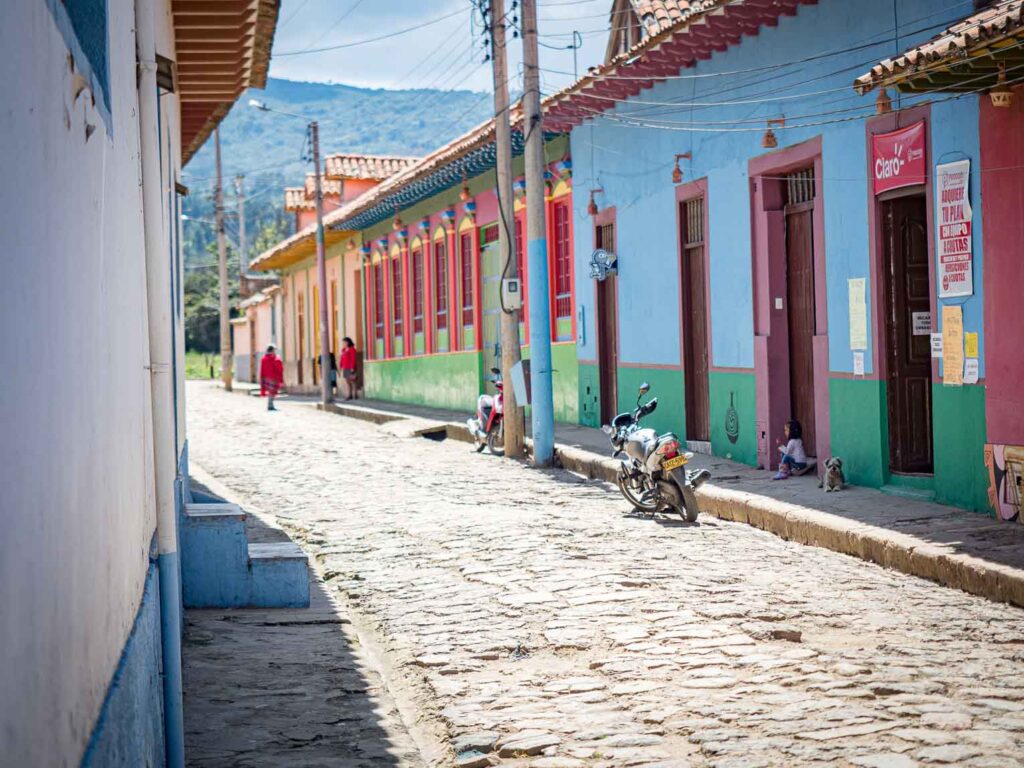
The stone streets and the white facades receive travelers who arrive at Villa de Leyva, a Boyacense municipality that is part of the Heritage Network of Colombia from Bogotá in about three hours by land to the northeast of the city. Founded on June 12, 1572 and recognized for its colonial architecture, Villa de Leyva lives with intensity the 21st century but shares its history with those who visit it.
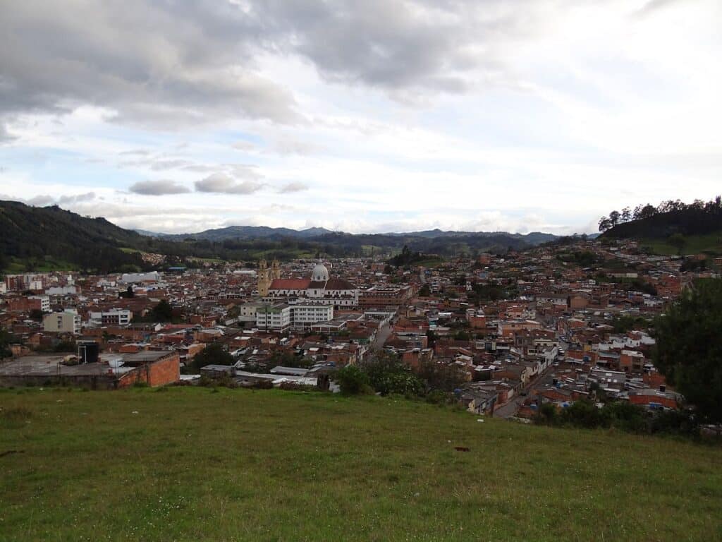
Chiquinquirá City
Located in the Suárez river valley, 134 km north of Bogotá and 73 km from Tunja
On September 1, 1810 he declared himself free of the colonial government, it is a point that connects Bogotá and the center of the country with Bucaramanga and the Caribbean coast. In this municipality of Boyacá, whose average temperature is 15 ºC, devotion to the Virgin of Chiquinquirá is great, whose image is in the Basilica of Our Lady of the Rosary.
The Basilica of Our Lady of the Rosary of Chiquinquirá, the main temple of this municipality of Boyacá, attracts travelers. In addition there are several parks like the Juan Pablo II Park and There are also places where they sell crafts in Tagua, a seed characteristic of the Boyacense region.
Duitama City
Located 50 kms from Tunja
The City of Duitama belongs to the Andean geographical region and is located in the Boyacense highlands, between the channels of the Chiticuy river and the Surba river. Duitama is capital of the province of Tundama and is on the industrial corridor of Boyacá.
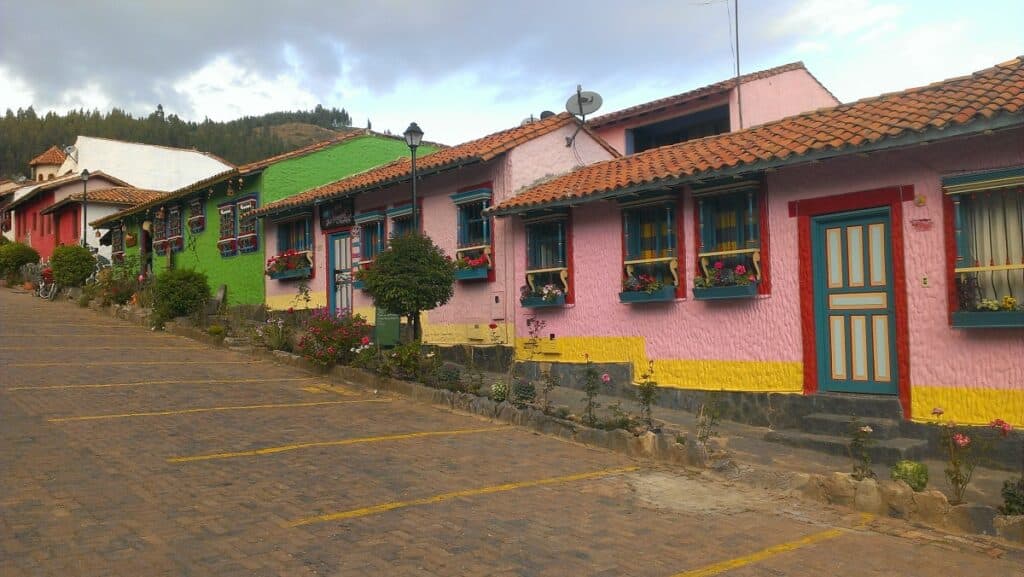
Ráquira City
It is located about 60 kilometers from Tunja
Guateque City
It is located 125 kilometers south of Tunja
Guateque was founded in the year of 1556 and built in 1778, the name is of Chibcha origin. ‘The creek that murmurs down the ravine, named Guatoc, where it came from, adulterated, Guateque, a town in the Tenza Valley.
Places of interest:
- Principal Park. Main Park of Guateque Enrique Olaya Herrera.
- The hill. An excellent place to appreciate the beautiful panorama offered by the Municipality of Boyacá.
- Cave of the Bat. Located on the sidewalk of Galindos, whose main door carved in living rock, is about two meters high.
- Marketplace. The inhabitants of the Municipality with special attention to the rural area that carry out agricultural activities are transferred to the urban furniture “market place” every week on Wednesday, in order to market and expose the production of their economic activity.
- Guateque church. San José de Guateque Parish – Catholic Church.